IVSH network NOW using cyclable public rights of way
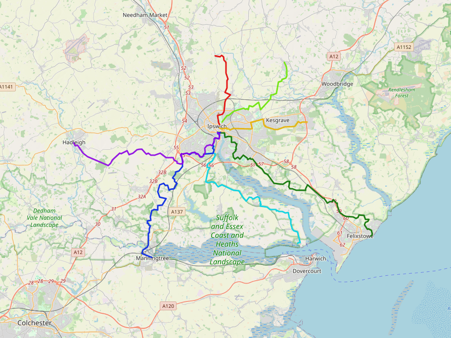
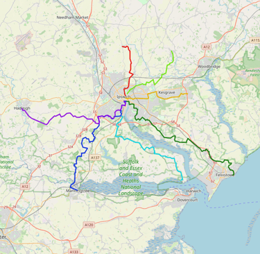
Inter-Village Super Highway routes
Route detail based on todays public rights of way:
IVSH1 - Henley to Ipswich
Linked villages = Henley-Witnesham-Westerfield>Ipswich
Distance = 5 mi
Path type = earth/grass/paved
Muddy when wet - 1 mile
IVSH2 - Martlesham to Ipswich
Linked villages = Martlesham-Kesgrave-Rushmere>Ipswich
Distance = 6.5 mi
Path type = earth/grass/paved
Muddy when wet - 0.25 mile
IVSH3 - Grundisburgh to Ipswich
Linked villages = Grundisburgh-Playford-Rushmere>Ipswich
Distance = 7 mi
Path type = earth/grass/paved
Muddy when wet - 0.5 mile
IVSH4 - Felixstowe to Ipswich
Linked villages = Felixstowe-Trimley-Levington>Nacton>Ipswich
Distance = 10 mi
Path type = earth/grass/paved
Muddy when wet - 0.5 mile
IVSH5 - Shotley to Ipswich (TBC)
Linked villages = Shotley-Chelmondiston-Woolerstone-Wherestead>Ipswich
Distance = 9 mi
Path type = earth/grass/paved
Muddy when wet - 1.5 mile
IVSH6 - Manningtree to Ipswich
Linked villages = Manningtree-Brantham-Bentley-Belstead>Ipswich
Distance = 13 mi
Path type = earth/grass/paved
Muddy when wet - 2 mile
IVSH7 - Hadleigh to Ipswich
Linked villages = Hadleigh-Radon-Chattisham-Copdock>Ipswich
Distance = 12 mi
Path type = earth/grass/paved
Muddy when wet - 2 mile
IVSH network for the FUTURE using upgraded public rights of way
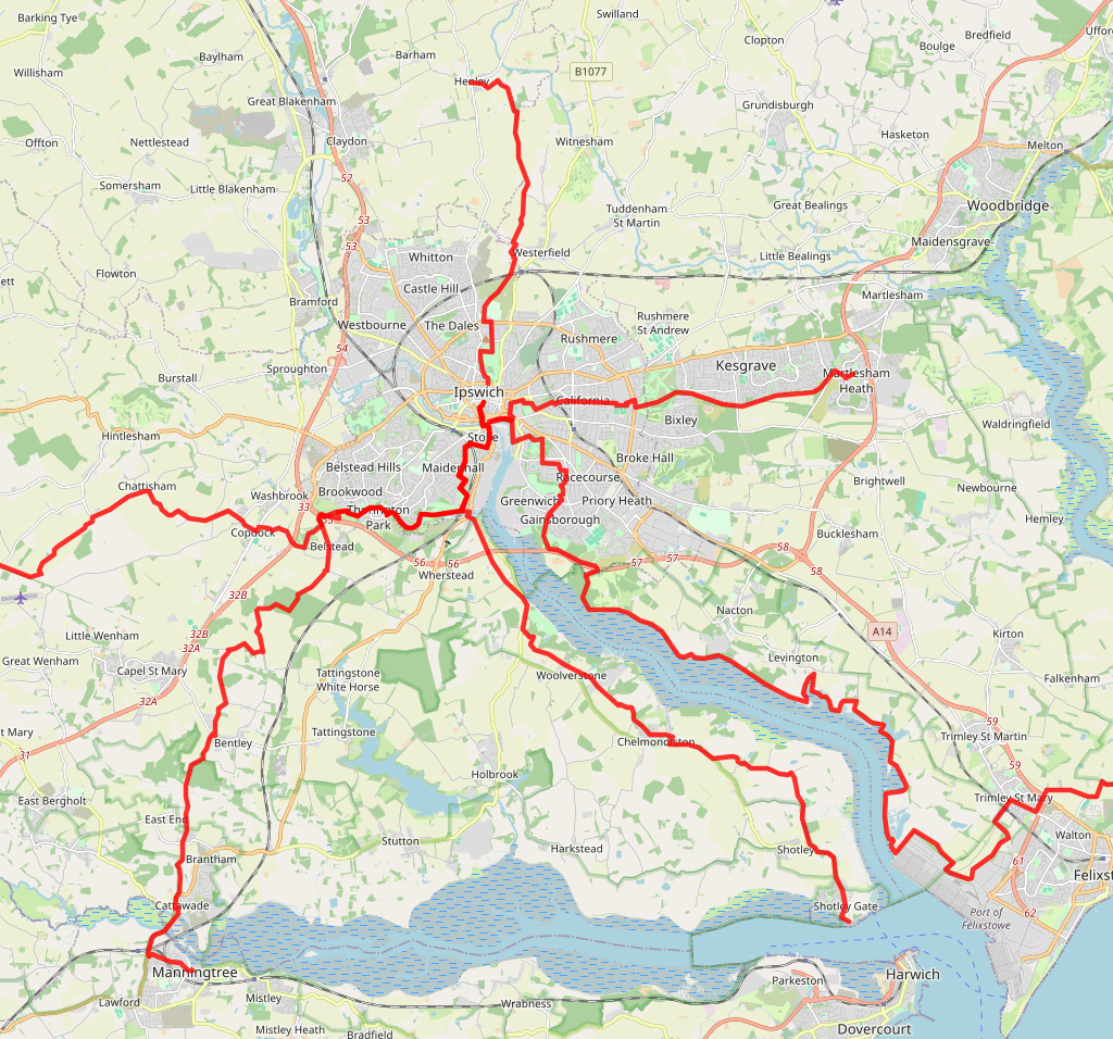
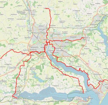
Inter-Village Super Highway routes
Route detail based on UPGRADED public rights of way:
IVSH1 FUT - Henley to Ipswich
Linked villages = Henley-Witnesham-Westerfield>Ipswich
Distance = 5.1 mi
Path type = earth/grass/paved
Muddy when wet - 1 mile
Upgrade benefits = 1.5 mile of traffic free paths
IVSH2FUT - Martlesham to Ipswich
Linked villages = Martlesham-Kesgrave-Rushmere>Ipswich
Distance = 5.79 mi
Path type = earth/grass/paved
Muddy when wet - 0.25 mile
Upgrade benefits = 1 mile of traffic free paths
IVSH3 - Grundisburgh to Ipswich (TBC)
Linked villages = Grundisburgh-Playford-Rushmere>Ipswich
Distance = 7 mi
Path type = earth/grass/paved
Muddy when wet - 0.5 mile
Upgrade benefits = limited opportunity
IVSH4FUT - Felixstowe to Ipswich
Linked villages = Felixstowe-Trimley-Levington>Nacton>Ipswich
Distance = 19 mi
Path type = earth/grass/paved
Muddy when wet - 0.5 mile
Upgrade benefits = 10 miles of traffic free paths
IVSH5 - Shotley to Ipswich (TBC)
Linked villages = Shotley-Chelmondiston-Woolerstone-Wherestead>Ipswich
Distance = 9 mi
Path type = earth/grass/paved
Muddy when wet - 1.5 mile
IVSH6 - Manningtree to Ipswich
Linked villages = Manningtree-Brantham-Bentley-Belstead>Ipswich
Distance = 13 mi
Path type = earth/grass/paved
Muddy when wet - 2 mile
IVSH7 - Hadleigh to Ipswich
Linked villages = Hadleigh-Radon-Chattisham-Copdock>Ipswich
Distance = 12 mi
Path type = earth/grass/paved
Muddy when wet - 2 mile